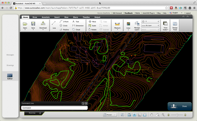
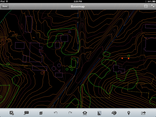
As part of the Autodesk 360 family of products and services, AutoCAD WS is an incredible tool that literally allows you to take your drawings anywhere. Directly integrated with the desktop versions of AutoCAD; you can open, share, and edit your drawings through a web browser, on iOS or Android phones and tablets, and even through a native Mac application.
Despite this expansive landscape of options, there was one sizable limitation to AutoCAD WS for Civil & Infrastructure customers. That limitation was simply the fact AutoCAD Civil 3D drawings had to be converted to "vanilla" AutoCAD drawings (lines, arcs, & polylines) to be used inside AutoCAD WS.
Earlier today, Autodesk updated the entire AutoCAD WS platform, and eliminated that restriction across all versions of AutoCAD WS; web, mobile, and even the Mac platform. This is especially exciting for a number of reasons, but this update seems especially helpful for those who want to take their designs with them into the field. The Android and iOS versions of AutoCAD WS can utilize the GPS receiver within cellular devices, letting you track your location within the context of your drawing. Although not as accurate as a survey-grade GPS, the location-based interaction with your designs stands to be an invaluable tool during your next site visit.
AutoCAD WS, Autodesk 360, & Autodesk Subscription
AutoCAD WS is part of the broad set of features, cloud services, and cloud-enabled products that define Autodesk 360. Autodesk Subscription customers gain access to a larger breadth of services including more storage and computing capacity.


