This blog was co-written with the help of Matt Harraka - Practice Manager, Construction
Building Owners and Facility Managers are often focused on what's inside the building and may overlook the importance of mapping utilities beyond the walls. I recently attended a user group event where a campus on the east coast of the United States proudly shared the progress their team has made regarding mapping utilities with the use of GIS, GPS, and drones. The work, the team had completed over the last decade was astounding. Aerial shots that showed how specific spots on campus had transformed over 40 years allowed them to remove foundations without repercussions. Utility mapping via GIS tools enables the campus to begin new construction projects without worrying about hitting underground lines that could cost tens of thousands of dollars. This level of work and detail made me recall the work CADD recently completed with [a highly touted university on the east coast] and how leveraging this information will benefit them now and in the future.
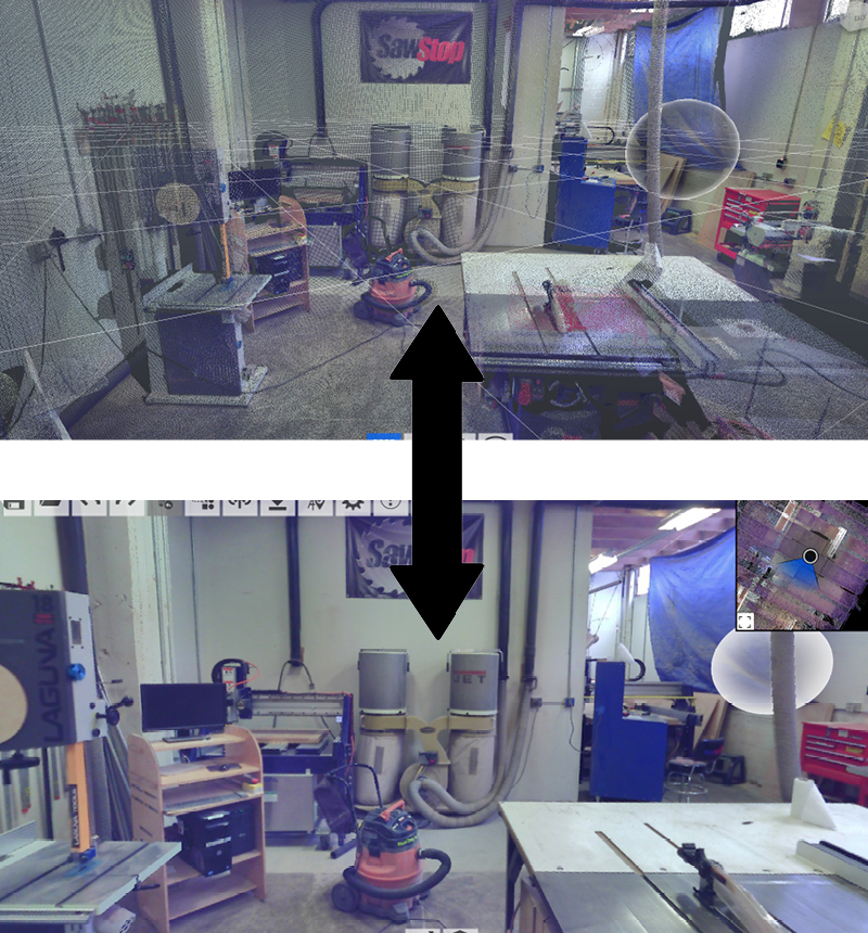
CADD’s client had the specific, but all too common, need of mapping their underground utilities. The need arose much like what I saw at the conference, the facilities management team needed updated data. CADD’s experience in AEC & FM led to the recommendation to capture the existing conditions using Laser Scanning and Traditional Survey. Using the point cloud data of the existing space, CADD produced a BIM Model that can be used moving forward for Asset Management and Basis of Design on upcoming projects.
So how much is involved to Laser Scan or survey existing space, and then turn it into something like a BIM Model? Like all things, there are key steps to the process that you and your teams will need to understand to get an idea of how this is accomplished. This information is also available in CADDs Lidar Scanning Principles Doc available here. The first task is to determine what needs to be captured. This is where an idea of level of effort and what equipment may need to be used is assessed. The second task is to start the field work, the team mobilizes on site and proceeds to collect the data. After collecting the information in the field, the team can then begin to register the point cloud. This is the process of applying coordinates to the data as well as “stitching” all of the scans together. Once completed the point cloud is ready to be used in other authoring or review software for a variety of purposes.
The importance of digital data representation is only increasing as external pressures to reduce physical storage space for hardcopy plans, operations manuals, etc., also increases. Digitization is not only relevant in the as-built space, but the handover between building and operations practices in a digital manner is becoming more of a possibility than a pipe dream!